Helvetic Roads Survey 1799–1801
Between 1799 and 1801, Division III “Génie, Ponts et Chaussées” of the War Ministry conducted surveys of the cantons regarding road and traffic conditions.
Between 13 December 1798 and 25 February 1801, the revolutionary government installed in 1798 conducted seven surveys into the condition, course and importance of highways and other roads; planned improvements; annual expenditures; experts, wages and materials; and the future organisation of the road system.
A team from the University of Bern transcribed key sources, reconstructed the road and track networks and traffic conditions in the late 18th century, and integrated the data into a geographic information system. The researchers then complemented the data with information about the historical context and made them available to the public on a website. Once the publishing project was complete, the Federal Archives secured the data, database and website. The website app offers various ways of accessing the sources and transcripts.
How to use the app
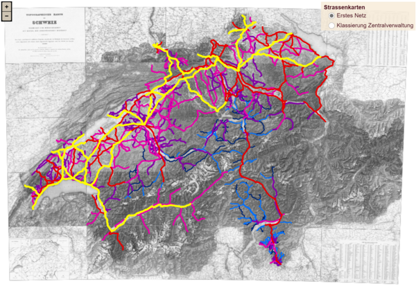
Searches can be conducted via the historical description in the roads survey, the historical context, the cantonal dossiers, and the track networks in the interactive map; or directly via the list of documents and transcripts.
Data source
The main sources are the classification tables sent by the Helvetic cantons to the War Ministry. They are complemented by correspondence, plans and maps. The approximately 27,000 pages consist of documents from Division III “Génie, Ponts et Chaussées”, further documents from the War Ministry, and others from the Executive on engineering and roads. They are drawn from various series of the fonds B0* Zentralarchiv der Helvetischen Republik (1798-1803).